
Our Technology and Equipment
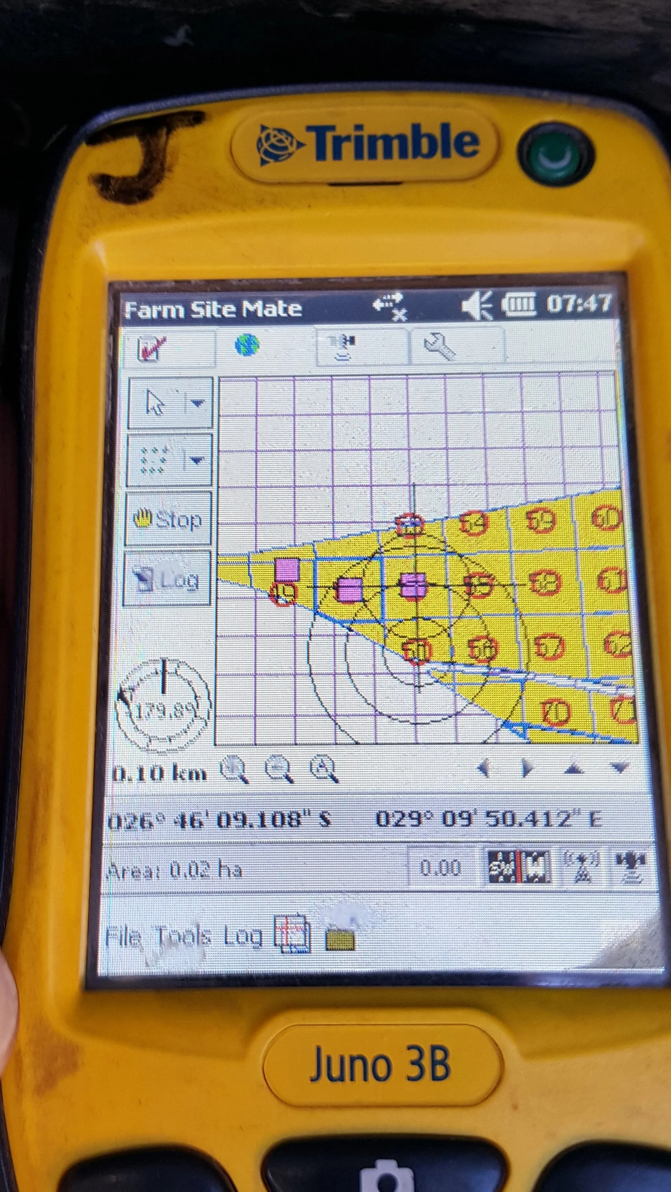
Using a DGPS in WGS84 format all features, structures and improvements within borderlines and above ground are surveyed and plotted. Features and structures include windmills, water-taps, pumps, troughs, corrals, gates etc. We make use of the National Geo-Spatial Information database supplied by the Rural Development & Land Reform to accurately reflect land gradient. Perennial water and dam-lines are similarly determined and reflected.
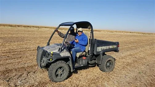
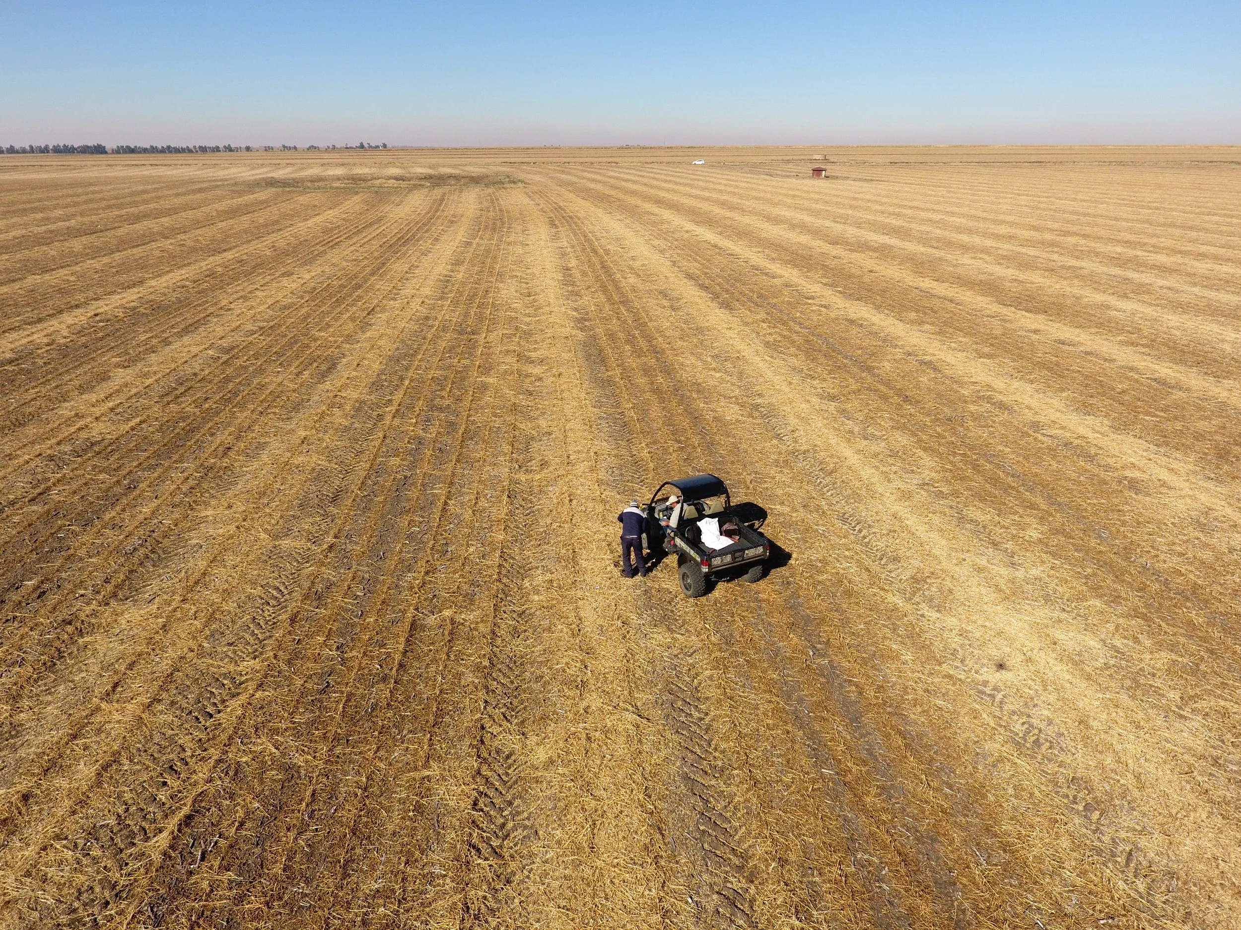
Here at Mapco we are also equipped with a range of vehicles to do our jobs as effective and efficiently as possible. We have a impressive fleet of 3 Ford Ranger bakkies; 4 four-wheeler motorcycles and 2 John Deere Gators to dominate on any piece of farmland.