
Having a farm map can be a very useful tool. The correct calculation of arable land (hectares) helps with cost effective fertiliser, seed and pesticide control inputs. Once camp size is determined, the camp’s optimal grazing capabilities can also be calculated and thereby resulting in the correct control of livestock numbers and prevention of overgrazing.
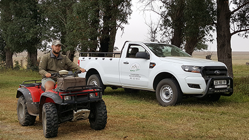
Using a DGPS in WGS84 format all features, structures and improvements within borderlines and above ground are surveyed and plotted. Features and structures include windmills, water-taps, pumps, troughs, corrals, gates etc. We make use of the National Geo-Spatial Information database supplied by the Rural Development & Land Reform to accurately reflect land gradient. Perennial water and dam-lines are similarly determined and reflected.
OUR STANDARD FARM SURVEYING PACKAGE INCLUDES:
Surveying is done
with DGPS in WGS84 format
Everything within borderlines
and above ground will be surveyed and plotted
Survey package includes
a laminated and framed colour map on scale
A4
laminated
booklet
Additional Costs
- Traveling expenses charged @ R3.50 per km
- Work done on farms further than 150km from Montagu will require accommodation for 1 person or will be charged an overnight fee of R500 per night
Optional Extras*
- Additional and/or underground features can be indicated on your map
- Magnetic board
- Additional framed maps